Drone and Satellite Workshop
Advanced cameras mounted on satellites and unmanned aerial vehicles (UAVs or 'drones') are increasingly being used in diverse fields, ranging from ecology to urban-planning. Multi-spectral satellite data can help monitor the impact of droughts, measure changes in vegetation, or reveal the long-term impact of humans on the landscape. Drones provide complementary, high-resolution and targeted information, and can be cheaply deployed to remote areas at high cadence.
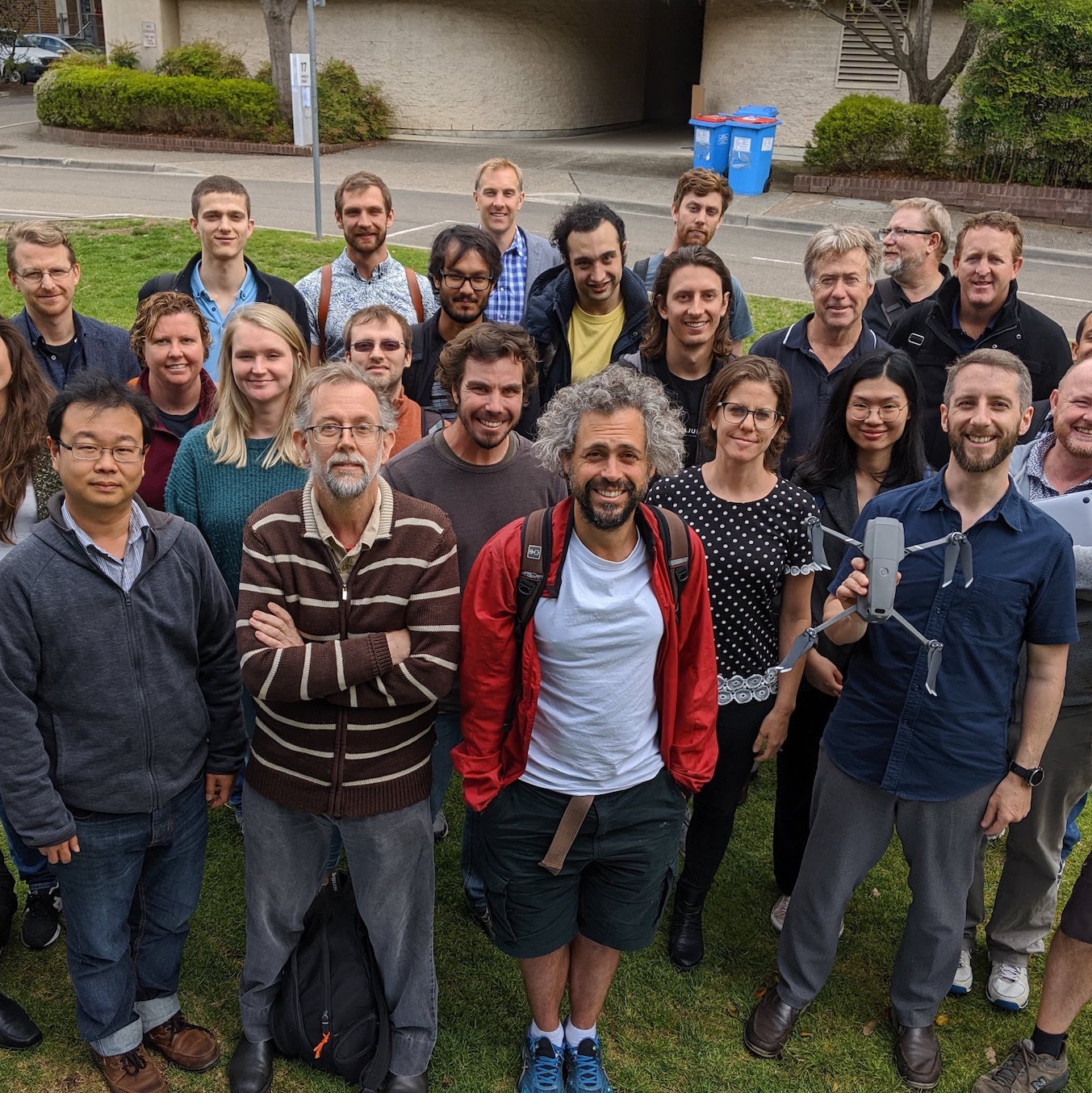
In 2019 the Department of Physics and Astronomy at Macquarie University hosted a 1-day workshop on the use of drones and satellite data for research. Thanks to all of the speakers who made their slides available below.
Invited Speakers
Our invited speakers show that new technology can be harnessed for good: saving the natural world.
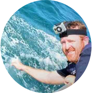
Prof Steven Longmore is an astronomer and head of the astro-ecology group at Liverpool John Moore's University. His astronomy research aims to understand how the Universe evolves over cosmic time. He also has a keen interest in applying astronomical techniques to tackle problems a little closer to home, such as helping ecologists save endangered species.
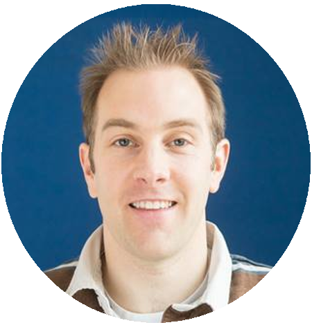
Dr Paul Butcher is a senior research scientist with the Fisheries Conservation Technology Unit of the DPI. He is in charge of monitoring sharks as part of the NSW Government's $16 million Shark Management Strategy and is currently involved in the largest shark tagging program in the world. Since 2016, he has been running trials of drone technology to better detect and deter sharks off the NSW coast.
Program Overview
Slides from the presenters are now linked in the program below:
| Friday September 20th, 2019 | |||
|---|---|---|---|
| Speaker | Subject | Slides | |
| 09:00 - 09:15 | Prof Mike Steel | Welcome | |
| 09:15 - 10:00 | Prof Steven Longmore | "Astro-Ecology": combining drones and astrophysics techniques to help tackle biodiversity loss and climate change | |
| 10:00 - 10:15 | Sam Shumack | Drone and satellite data for monitoring desert ground cover | |
| 10:15 - 10:30 | Lara Talavera | UAS-based monitoring of sandy coasts | |
| 10:30 - 10:45 | Morning Tea | ||
| 10:45 - 11:00 | Amir Zaribaf | Pre-historical occupation of estuarine environments in the Persian Gulf | |
| 11:00 - 11:15 | Yuri Shendryk | Fine-scale prediction of yield in sugarcane: A comparison of UAV-derived LiDAR scans and multispectral imagery | |
| 11:15 - 11:30 | Yuri Niella | Space-usage models for tiger sharks | |
| 11:30 - 11:45 | Nick Harris | Using drones for research at Macquarie | |
| 11:45 - 12:00 | Discussion Session | ||
| 12:00 - 14:30 | Lunch | ||
| 14:30 - 14:55 | Dr Paul Butcher | Unearthing the truth about sharks using satellite and drone based technologies | |
| 14:55 - 15:15 | Andrew Colefax | Drone-based tracking of white sharks near the surf zone | |
| 15:15 - 15:30 | Andrew Walsh | Validation of Landsat and Sentinel products, using a drone-based approach | |
| 15:30 - 15:45 | Aman Chokshi | Characterising Radio Telescopes with Communication Satellites. | |
| 15:45 - 16:00 | Michael Murphy | Calibrating astronomical spectrographs with drones? | |
| 16:00 - 16:15 | Afternoon Tea | ||
| 16:15 - 16:30 | Richard McDermid | Protecting the Night | |
| 16:30 - 16:45 | Jackie Carpenter | Drones and the workforce of the future | |
| 16:45 - 17:00 | Wrap up & end of meeting | ||